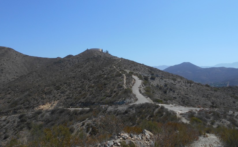
Location: Monserate Mt, Fallbrook, CA
Difficulty: Moderate to Difficult
Hike Statistics: 5.22 miles, 3971ft elevation change (1984ft gain), average slope of 13.4% (45.8% max slope downhill; max uphill slope of 44.5%)
Conditions: Upper 80s F, No shade
Trailhead: 33.366000, -117.157667
GPX Track: Google Drive (Note: Accuracy not guaranteed; Only includes hike described below)
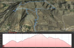
I often refer to Monserate Mountain in Fallbrook as a “training” hike for me. It is land bought by the Fallbrook Land Conservancy and set up as a trail. As it is right off of the 15 freeway, you’re listening to freeway noise the entire duration of the hike, and large segments of the more advanced hike are the remains of a road that was once put in place. With regularly achieving high heat and no shade in the summer, it poses threats and challenges that can make it an excellent training hike for more advanced hikes. Although it is very limited in “nature” aspects for the nature lover, it has its own hidden gems as well, especially taking it all in in the right perspective.
For directions, I refer you to Google Maps.
I began the hike at 10am on Saturday. Parking across the street from the trailhead, there were several other cars and other hikers coming down or preparing to go up. I set my expectations to see a lot of people this time, which is actually not a common thing for these trails, as I’m often alone on these trails, actually. However, it appears that most people did the simple Summit and Back hike, avoiding the extra miles of the loop. Although that makes it an easier hike, I would argue that you miss some of the best features of this hike doing such.
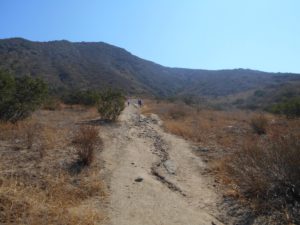
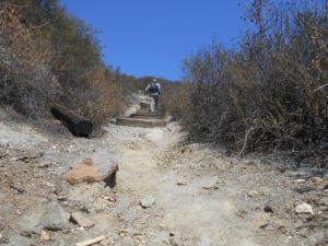
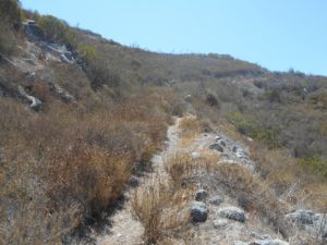
The first segment of this hike is always rough. It is steeper than many other trails, with little to no real switchbacks taking you up the first part of the mountain. The trail is well maintained, but extremely rocky and can pose issues for footing. Although I’ve done this hike multiple times without trekking poles, I once again was thankful for the help in balance and power that trekking poles provide.
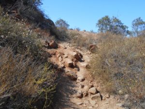
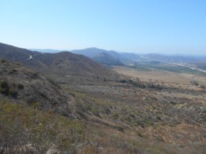
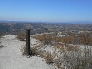
As I reached the top of the first segment, I stopped to take in the first great views that the trails give into the distance. Largely viewing to the South and West at this point, I’ve always enjoyed the views here, including the preview of different routes to take.
At this point, the trail also hits the paved segment, calling for putting on the rubber pavement tips on the trekking poles. A wooden post gives a good indication, along with some basic mileage to gauge your pace. Going left from this point takes you to the summit, but I’ve always been a fan of taking a right instead, performing a loop that walks you along the ridge to the summit.
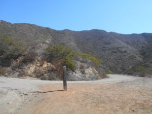
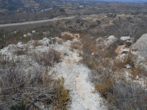
Some people might be turned off by the majority of the next segment when taking a right, as it means walking along an old, paved road. However, I always find an enjoyment of seeing how nature is slowly taking the road back. Between erosion and plants (the latter being limited by the foot traffic on the route), the old road is in complete disarray. Although some might find this ugly, I find it truly beautiful to see nature taking back what it rightfully owns.
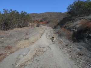
This segment actually takes you back down what feels like at least half of the climb you already completed, before then taking you back up. On the way up, you hit a series of posts and a gate keeping any vehicles from entering the trail again. Immediately after this, you’re presented with a few choices. To the right is a viewpoint that may be worth checking out for some people, and to the left the road continues. However, to the left you are also soon presented with a choice to take a short but steeper dirt trail that leads to the same place for one segment.
For this hike, I stopped at the viewpoint briefly before turning back and heading up the dirt trail. The dirt trail eventually connects back to the road just before hitting the large reservoir tank, where the trail turns back into dirt for the vast majority of the remaining hike.
Note: although I did not choose to do so for this hike, it is possible to stick to the road up to the reservoir tank. Doing so actually takes you back down again briefly before turning left (look for a gate on the left headed towards the tank) and back up. The dirt path is almost entirely uphill but steeper than the paved road.
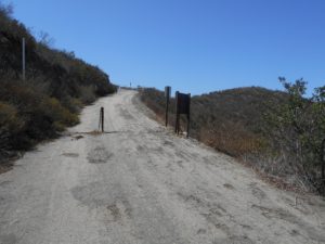
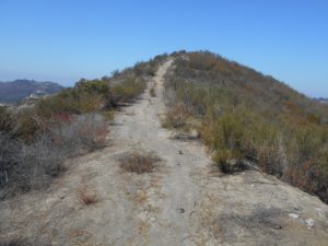
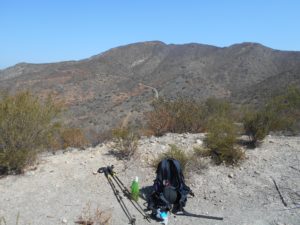
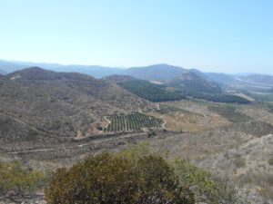
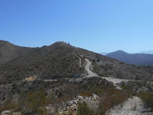
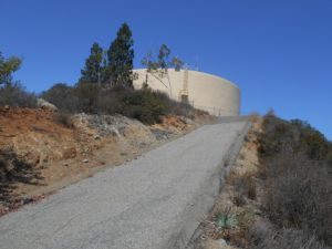
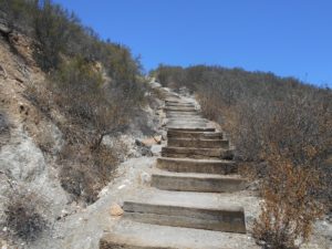
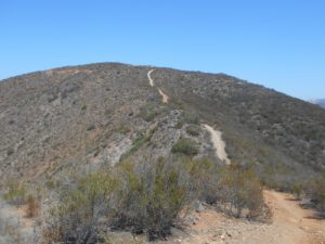
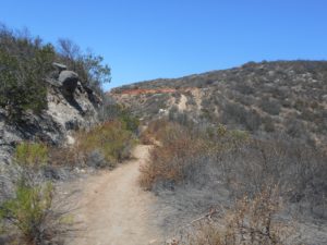
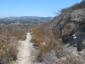
Immediately following the reservoir tank, to the right, the dirt trail continues. Out of anywhere else on these trails, this is where the real nature is located. The trail from here is largely flat, traversing a ridge that leads to the summit, but you do have to climb 400ft more of elevation to get to the summit. The heftiest part of this climb is up a series of stairs. As I was taking the trail slowly this day, enjoying the views and taking time to meditate, I spent most of my time along this ridge around noon. At the right time of the day (later afternoon, most likely), some of the geology of the land may provide you some shade, but I had no shade for the entirety of this hike.
The trail can also be somewhat deceiving at this point. At points, it almost appears as if the summit just keeps getting further away. And then suddenly you’re pretty much there!
It’s also worth noting that after the first section, up to the point that I took a right to complete the loop, the only two people that I saw were along the ridge. Otherwise, taking the loop this route provided a welcome solitude. As many hikes in the area lack a great solitude, this has always been one of my favorite points of Monserate Mountain: even though many people do complete the summit hike, very few complete the loop, providing an awesome opportunity for solitude.
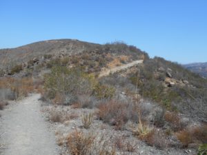
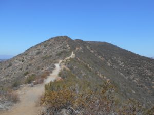
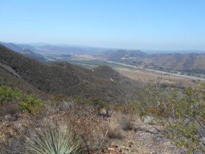
Finally, after about 2.75 miles of hiking, I hit a familiar point. The trail suddenly ends with an option to turn right or left. Taking left takes you back down the mountain to complete the loop, but taking a right takes you up to the summit. Of course, I took the right and climbed the remaining tenth of a mile to the summit.
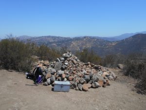
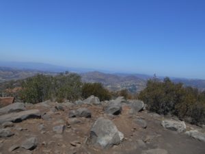
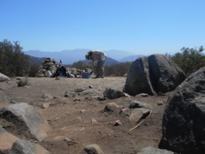
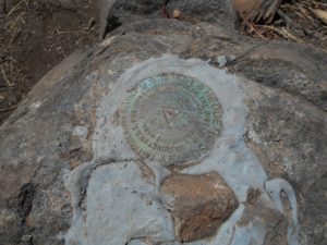
The summit is decorated by an interesting pile of rocks, a metal box containing notebooks in which you can “register” that you completed the hike, and some 360 degree views around northern San Diego County. There’s also a BM glued to a rock for those who hunt down the BMs.
After spending some time hanging out at the summit, I headed back down. Although welcome to be headed down the mountain at this point, it’s a return to steeper trails. The more flat (relatively) ridge provided some nice relief from the steepness that dominates this trail, so it is somewhat of a shock to return to it again.
On the way down, I ran into a post pointing out the Canonita Trail that runs off along the side of the mountain. This actually goes down to another reservoir tank lower on the mountain than the previous one that was passed. The Canonita Trail is steeper than ever–I hit my max slope grade for the hike on this section–and is very much so untraveled. The trail is extremely thin, but provided me a new, beautiful view of the mountain that I would definitely recommend to fellow adventurers. Although I did not go all the way to the reservoir tank, I very much enjoyed the section of this trail that I did cover this day.
After getting back to the primary trail on the mountain, I continued on. At this point, I began seeing more people hiking up the mountain. The solitude I had enjoyed for much of my hike was gone, but there was not much left of the hike.
Not long after the Canonita Trail, however, another side trail emerges–the Red Diamond Trail. This one, at least at first, appears more well traveled than the Canonita Trail did. However, it quickly fades as the brush consumes it. I became unsure whether or not I was even on the trail at one point, but I couldn’t find any way to get around a natural pile of rock that I had come to. I very much so enjoyed the pile of rock for what it is (what can I say, I like rocks), but turned back and headed back to the main trail to continue my trek down.
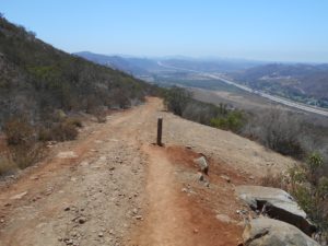
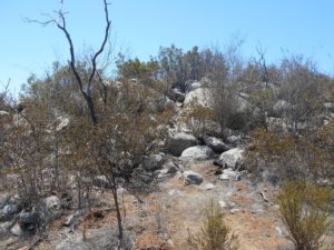
As I headed back down the mountain after the final side trail, I finally came to the point at which the pavement begins again. This is clearly marked by a few posts and a fire hydrant on the inside of the trail. I’m not really sure what the point of a fire hydrant all the way up there is, but it’s an interesting artifact!
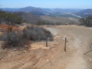
Going this route, the pavement is a very small patch of road before hitting back onto the first segment of the trail. At this point, I was more than happy to be headed back down the trail. Although this isn’t too difficult of a trail for me, I was ready to be finished battling the upper 80 degree temperatures with no shade. This part is always quite easy for me, especially when the car comes into view, providing inspiration, “Almost done!”, for anyone ready to get off of the mountain.
I reached my car at about 1pm, 3 hours after starting the hike. This is actually considerably longer than past times that I have completed this hike. However, between taking the additional side trails, and spending more time taking pictures and meditating in the solitude I had on this trail, I have no regrets about taking the additional time for it.
By the end of this hike, I’m always reminded of the complicated relationship I have with this mountain. I love the unique nature of the hike, providing challenges that are not common on other hikes in the area and a welcome degree of solitude. However, the constant noise of the freeway can be disappointing, and the complete lack of shade can just get annoying (potentially dangerous) on particularly hot days, especially coupled with the steep grades required to get to the summit. It remains a favorite for me, and one I rely on to push me in unique ways in preparation for even larger hikes.
