Location: Black Mountain Open Space Preserve, Poway, CA
Difficulty: Easy to Moderate
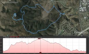
Hike Statistics: 6.57 miles, 4392ft elevation change (2173ft gain), average slope of 11.2% (60.8% max slope downhill; max uphill slope of 44.5%)
Conditions: 80 to 90 F ; Some shade
Trailhead: 32.999111, -117.098028 (Hike Described Below) ; Hilltop Community Park ; Miner’s Ridge Loop (North Facing Trailhead)
Sierra Club 100 Peaks List: Black #2, #87
GPX Track: Google Drive (Note: Accuracy Not Guaranteed; Only includes hike described below, not additional trail options)
It has been a while since I visited Black Mountain Open Space Preserve to hike up to the peak. It is a hike I enjoy a lot, especially being just a short drive away. It didn’t make it into my training for the Grand Canyon, so I was anxious to visit it again now.
This area actually includes several hiking options. Starting from Hilltop Community Park, this hike is only an easy 2.5 miles to the summit. That version of the hike is one I would recommend to everyone. Additionally, there is a trailhead on the North, with parking that I would suggest for those looking for the more difficult, interesting hike. Or there is the Northeast trailhead, which happens to be my favorite hike and the one that I performed today.
For the trailhead of the hike I performed, Google Maps is again helpful.
For Hilltop Community Park: Google Maps
And finally, one other North facing trailhead: Google Maps
I began my hike today around 7:30am, parking on Avenida De Los Lobos. The trailhead is located just off of this road in what is now a newly paved area. In the past, this was not quite as easy to access actually; the last time that I did this, it was surrounded by construction that required maneuvering around to access the trailhead.

After a short walk into the area, a small lake gives an interesting view, though distorted by the power lines. In previous hikes, I’ve followed the power lines for some ways, but I was hoping to make a loop out of this hike today, following the East Rim Trail to the summit, instead of hooking up first to the Miners Loop Trail (look ahead for details on that trail). As such, I took the first left I found, heading up to the East Rim Trail.
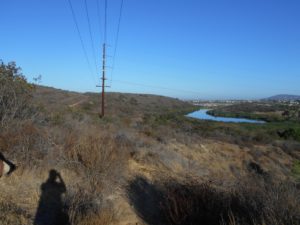
As I headed up the East Rim Trail for the first time, a bench early on provided some nice hope. Although there wasn’t much shade there at this time, and there didn’t look to be much cover that would be provided at any time. It still looked like a nice place to stop if you were further along than I was already.
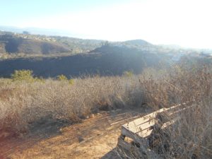
Unknowingly, I had somewhat of a false impression that it would be the most difficult climb to the first top of the first peak on the east rim. This proved to be quickly false as I reached that area. Although the views were already gorgeous, it quickly became apparent that there was going to be a lot of ups and downs before I got to actually climbing Black Mountain’s true summit. The area was lush with chaparral plants, however, providing a pleasant, somewhat shaded hike along the ups and downs of the east rim.
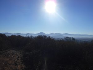
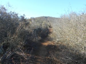
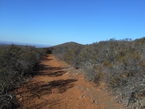
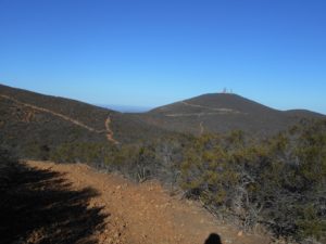
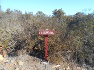
At the end of the East Rim Trail, I found my first sign, signifying the development of the trail. It seems there’s a lot of work being done to keep up with much of the trails on this section. The trails do see a lot of foot traffic, and it is something of a gem for the neighborhoods surrounding it, so there’s plenty of effort to keep this one well maintained throughout the majority of the trail system.
Following the signs, I headed towards the Nighthawk trail, spending only a brief time on the Little Black Loop trail to get me headed towards the summit.
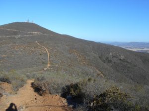
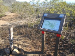
As I headed up the Nighthawk Trail towards the service road that leads to the summit, I took note of the Miner’s Ridge Loop trail. At the time, I was thinking that I had different plans for the day with my desired loop than to integrate this one at all. That would not turn out quite as planned…
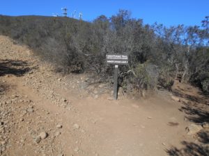
Getting onto the service road, this is where I began to run into people. The isolation I had enjoyed for most of the hike so far was gone. Everyone was very friendly and chatty today, so it was still enjoyable. I didn’t see a sour face in the whole lot!
It was a short walk from there to the summit, where I finished my first half liter of water and threw some Nuun tablets in my next liter, while resting and taking in the views. Of course, there are some radio towers and such up at the top of the mountain here, which detracts from it to some degree, but I’ve largely come to consider that just a part of the deal in hiking the taller points within the cities.
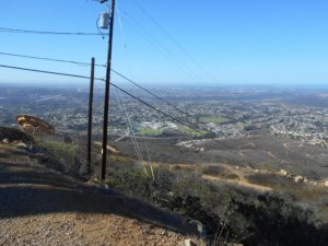
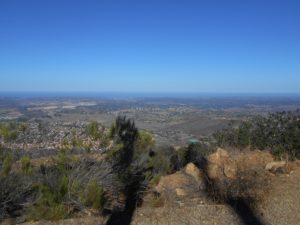
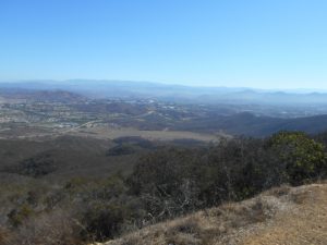

After a nice, brief rest, I began my way down. Unfortunately, it quickly became apparent that the way I thought I would go for the day was closed. Due to too much foot traffic on some areas, the ecosystem has suffered, and the city has closed off some trails to try and restore a balance to the area. It’s always unfortunate to miss opportunities of hiking, but the destruction man has done to nature is far worse.
Not having a plan on what to do now, I decided to head back down the way I came, but hook onto the Miner’s Loop Trail. I have used this trail to access the summit in the past, although it has been long enough that I wasn’t sure where I was going with it any more. I didn’t pull up a map of the trail, but just kept glancing at the map I had printed to try and estimate something close to that idea using the Miner’s Loop.
The Miner’s loop trail is a truly beautiful trail. There is plenty of shade most parts of the day, and I was even amused to see a small bridge over what was just some dry land at this point (summer and furthermore, drought?). Along this trail was the first time I actually hit a few, small switchbacks on the entire hike.
Eventually, I hit a T in the path. Looking at a map of the trails at home, I can see that if I had taken a right, it would have looped back to the area in which I had started. However, not knowing this, I just took a gamble on took a left. Thankfully, this went exactly where I was wanting to go, further down the mountain on the Northwest side.
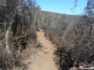
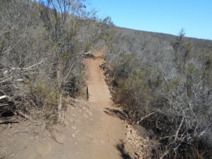
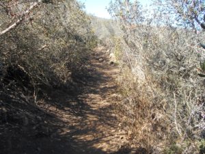
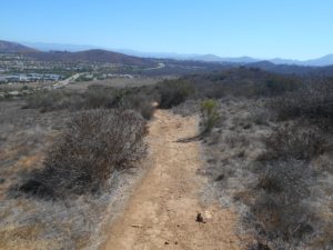
Having reached the bottom of the mountain and following my way to the east now, the trail descended out of the chaparral I had enjoyed and into grassland. There is both native and non-native grassland in the Black Mountain area. Unfortunately, this area doesn’t look very appealing and has no shade. Temperatures were getting up to 90 degrees Fahrenheit, and the area has plenty of broken glass and other remnants of human activity–some I would guess from the days in which they mined for arsenic and gold in the area, as opposed to much of anything new.
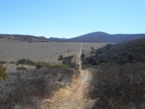

After exiting this grassland area, it remained a constant gamble of taking the right or wrong directions. I took a left near some old appliances lying on the ground, and eventually found a random right to take that appeared as though it would take me back to the trailhead from which I began. Thankfully I was exactly right in my gambling and arrived back at my car just 3 hours after I set out. 3 hours actually seemed quite long for how it felt, but I spent a lot of time taking pictures and just enjoying myself as usual.
