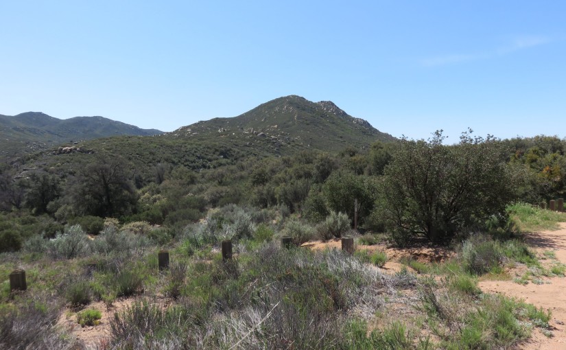
I have been staring at this one mountain peak for the last week, thinking about climbing it. There was a clear use trail going up at least part of the way, although finding out how to get there would be a little rough. No worries: I went on ahead to tackle it!
There’s several trails leading off nearby camp, and I had previously explored some of those already. From that experience, I noticed at least one that seemed hopeful for finding the use trail headed up this mountain. After a couple of creek crossings and some wandering around, it became clear that the way up wasn’t obvious.
I stared at topo maps and Google Maps on Satellite, even when down in on the trail around the area that I assumed the use trail headed up. It wasn’t easy to figure it out, but there was only one clear way that seemed likely whatsoever. I headed on up, and sure enough, I found my way up.
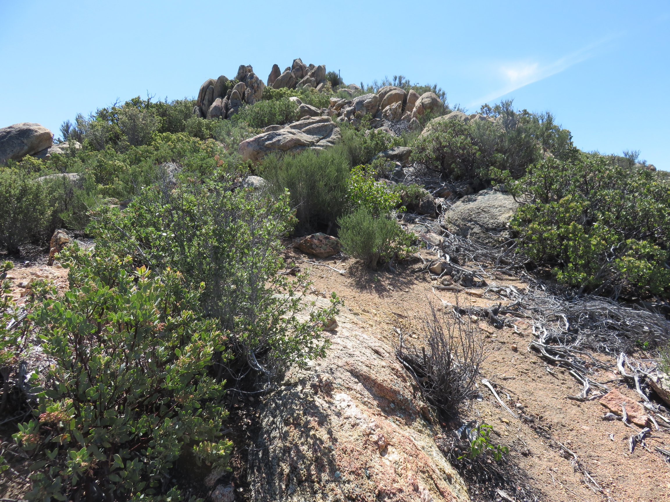 It was a remarkably easy, though steep hike all of the way up, until I was quite close to the summit. There was some false summits, but nothing too frustrating, even.
Near the end, it turned into a bit of a scramble at times, but again, nothing terribly frustrating. The route was mostly pretty clear, although a little bit of bushwhacking was required at times.
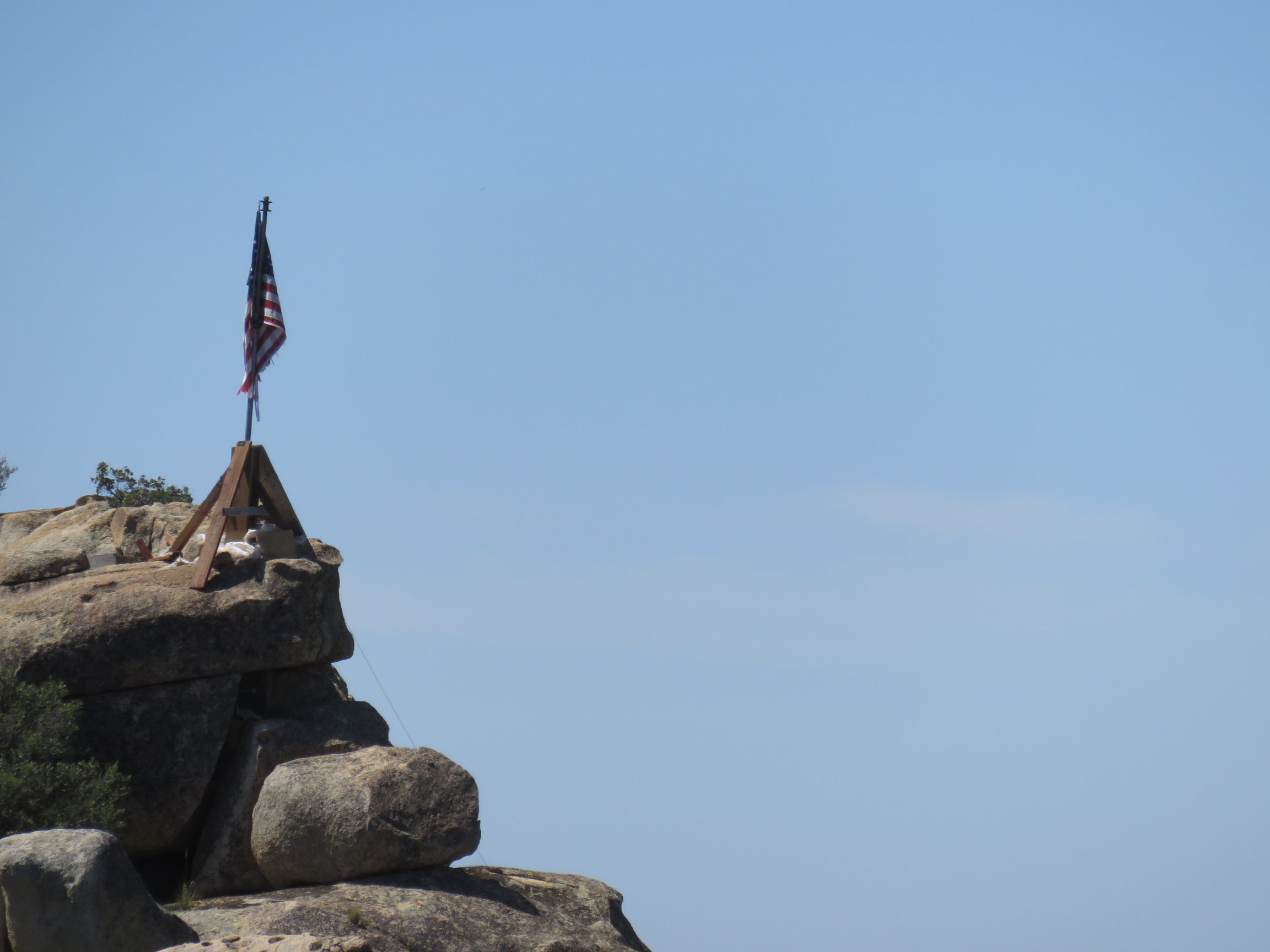 Eventually, I finally reached a point where I could see an American Flag set up right on the edge. It was pretty cool looking, and after really getting a good view at it, it was pretty easy to get there.
Overall, a pretty easy hike to me, and only about 1.5 miles to reach the summit. At worst, it was steep with some decision making required in the scrambling/bushwhacking, but it was really all pretty good.
However, I didn’t just want to hike back simply, so I decided to try heading down the opposite site of the mountain and connect with the Noble Canyon National Recreation Trail that I have hiked on a few times prior now.
 The route back was simple: there was a clear use trail, marked pretty wonderfully with cairns nearly the whole way. I never truly got lost or too confused. It was a little bit more difficult than the route that I took up, but again nothing bad. And sure enough, I dropped onto the Noble Canyon trail and followed that back to that trailhead.
After eating lunch at the Noble Canyon trailhead, I headed back up another side trail that stayed to the West of the mountain ridge I had just climbed. This part was just a simply, quite obvious stroll on back to camp. Easy!
Here’s the gallery of pictures, as usual:


