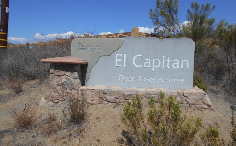
Location: El Cajon Mountain, El Capitan Open Space Preserve, Lakeside, CA
Difficulty: Strenuous (Moderate to Difficult hikes technically possible)
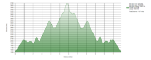
Hike Statistics: 11.87 miles, over 10,500ft of cumulative elevation change (over 5200ft gain)
Conditions: Pre-dawn start. Temps ranging upper 60s at the start to 100 on return. Very sparse shade on return.
Preserve Hours: 7am to roughly sunset (closing time is posted). Some parking space along road for earlier starting times (recommended in hot conditions). Preserve is closed the entire month of August due to extreme heat.
Trailhead: 32.912545, -116.884734 ; off of Wildcat Canyon Road, across from Oak Oasis Open Space Preserve
Sierra Club 100 Peaks List: El Cajon, #89
GPX Track: Google Drive (Note: Accuracy Not Guaranteed; Only includes hike described below, does not include additional trail options)

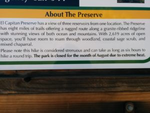
This is a hike I have been hearing about and reading about for a little while now. Pretty much everything I was hearing about it was how difficult and strenuous it can be. Personally, I’m very reserved about handing out the “Strenuous” title to a hike, choosing to stick to “Difficult” at most for most hikes. However, I’m going to stick to what the preserve says on this one, and on the right day, during the right time frame, it gets close enough to earning that title that I feel okay sticking to it. It is uphill both ways (and if you’re like me, downhill both ways matters, too), and much of that can be considered steep, slippery, and at times moderately rough terrain to many people. During the wrong time of day on the wrong days, it can get pretty hot, with very little reliable shade. Those factors, together with the elevation change that can be considered quite a lot for some people, can definitely make this a strenuous hike for many who attempt it.
Note: There are several optional hikes along the route which I did not take entirely. I went the primary route to the peak of El Cajon Mountain. However, there is an additional, longer hike leading to an overlook over the El Capitan Reservoir and another leading to what some have called “El Capitan Peak”–this hike is labeled as a continuing “El Capitan Trail”. Additionally, Silverdome is located in this area. It is marked on the topographic map I have overlaid my route on, but I did not study this interesting location enough to guide one to reaching it; some have said that it is often mislabeled on the incorrect peak, but I cannot give proper information on that matter at this time.
I got to the trailhead shortly before 6:00 AM. The sun was not rising yet, and there was just enough moonlight and refracted light over the horizon to light the path forward. The gates were not open yet, so I parked along the side of the road and geared up to head in.
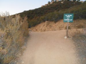
From the parking lot, the trail can be somewhat confusing in darker conditions. I quickly learned that just continuing to head forwards, back past any driveways and side roads, past the Blue Sky Ranch, eventually leads right to the primary staging area for the rest of the trail. There, bathrooms are available if you need before heading up any further.
Right from there, two options open up. What appears to be the original trail headed up continues straight before turning left and heading up. However, there is another trail, which some documents I have read describe as being new, which is composed of switchbacks leading to a first high point along the trail. Since both options lead to that same exact location, it’s not a very significant choice, but I chose to take the switchback route, due to the potential for more interesting plant life along the way and slightly easier terrain.
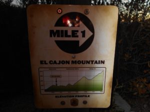
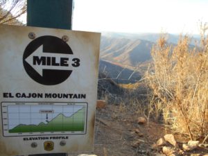
As I headed up the switchbacks, the sky grew brighter as the atmosphere refracted the sun’s light over the horizon, and great views began to open below. Just past the top of the switchbacks, onto the old miner road that has been repurposed as the primary trail through the preserve, I hit the 1 mile marker. The preserve is so kind as to mark many of the mile points, along with an elevation profile. In the early parts of the hike, I was somewhat fond of these markers, though I began to feel that they were just taunting me by the end. Some people will love these markers, others will hate them. Personally, they provide some nice information, but eventually, I find it much easier to not think about the mileage and elevation I have remaining.
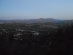
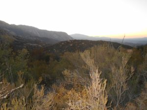
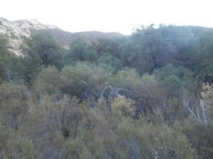
The next mile seemed quite easy to me, as there was a variation of uphill and downhill, but on the way up, it felt reasonably flat to me. My feelings would change on the way back, but for the way up, I enjoyed the scenery opening up further and further in what felt a somewhat relaxing hike through the preserve, as the face of El Cajon Mountain first started opening up. There was a good variation between heavier chaparral and looser, coastal sage scrub throughout these first two miles.
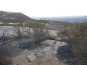
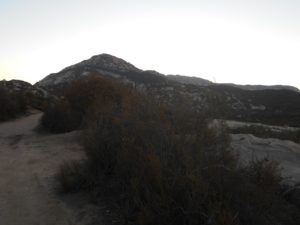
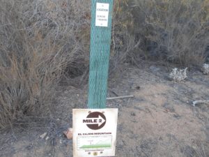
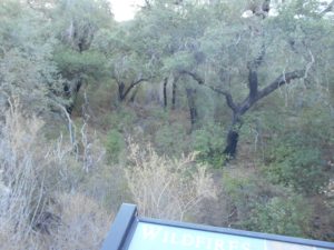
After reaching the second mile marker, the trail begins to get more difficult. The second uphill, which was rougher going than the initial switchbacks, follows shortly after, opening up even more views of the San Diego area surrounding. Then a downhill section begins where you get the primary oak woodland area along the trail. This spot can provide some nice shade during the right times of day, under one specific tree, and offers some nice nature viewing into the area. From there, you begin one of the larger and even more rough ascents to the mile 3 marker.
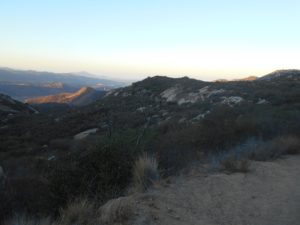
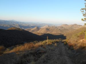

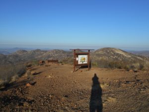
A somewhat challenging and steep but very short hike uphill from the mile 3 marker arrives at a lookout with an informational kiosk and a bench. There’s really no shade in this area–though you can take advantage of any shade the kiosk itself may offer–but it allows great, open views west. This day was not amazingly clear, but I have heard that on a very clear day, you can often see the ocean glimmering on the horizon.
Just past this, a stop sign taunts you, with a warning that it will take about 1 1/2 hours to reach the bottom again from this point and you should not attempt to reach the peak past a certain time. If you parked on the road instead of in the parking lot, I don’t think you need to concern yourself with this. However, this could also be a nice place to stop and turn around for just a moderate to difficult level hike. The kiosk area offers outstanding, rewarding views and you can avoid the most strenuous parts of the hike.
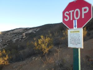
Following this stop sign begins some of the more challenging hiking at time. However, the views keep getting better and better along with it. The landscape begins to become littered with boulders sizing from fairly small to quite large, with varying vegetation and wildlife. It is about half a mile to the next “mile marker” only this time. I was surprised, exclaiming, “Mile 4 already?!” Nope. This is mile 3.5. I was cursing the sign. However, it is right at the high point of this significant sub-climb, before dipping back down.
A side trail appears to head up towards what is labeled as Silverdome on the topographic map, but I did not actually take this route myself, and Google Earth shows it appearing to end in a dead end. It may provide an interesting spot if you are interested.
One interesting point of mile 3.5 is an additional wooden post, obviously charred from the 2003 Cedar Fire. It is an interesting relic to remind you that the area has been recovering from that massive fire ever since.
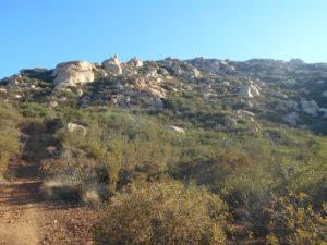
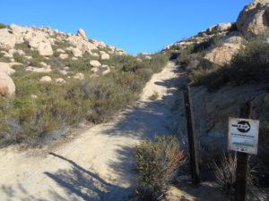
Heading down from the 3.5 mile marker, the 4 mile marker seems to pop up quite suddenly as well. This one doesn’t have the elevation profile and is right in the middle of a pretty brutal downhill section (meaning it’s brutal uphill on the way back).
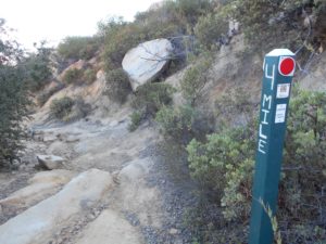
From this marker, once you hit the bottom of this pass, you reach an area with more diverse vegetation of several different kinds. The diversity of the vegetation throughout the preserve is truly great, and it is a real treasure. Some of it will offer shade at the right times of day, and some of it will not. All of it is gorgeous in its own right.
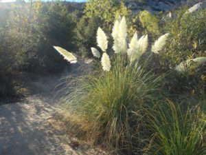
Beginning the uphill again from this low point, the trail can get rough and slippery again. I found it to not be the worst of the hike, but it could pose a challenge for some. Eventually, the famous rusted out truck on the trail comes into view. Everyone likes to use this as a landmark for getting pretty close. However, staring at El Cajon summit from this location, it still looks like it is a ways off, and you do still have a bit of a hike. However, it is a wonderful point to celebrate that relative to the length of the hike as a whole, you are getting close!
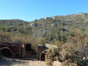
As you continue climbing uphill, you see the 5 mile marker, just another green post without an elevation profile. It seemed to taunt me at this point, pointing back to the parking. However, at this point, you really are very close. Just at the top of the hill, the elevation profile I was looking for appears on one post, and there is a 4 way intersection. Heading left takes you to the El Cajon Mountain summit, straight takes you a couple of miles down a very rough trail to a cliff overlook of the El Capitan Preserve, and taking a right heads up what is labeled as “El Capitan Trail” and what some have called “El Capitan Peak”. The fourth route, of course, is the way back to the parking from which you came.
I first headed left up towards El Cajon Mountain summit.
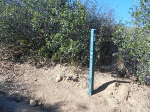
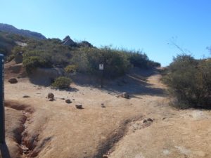
The way up to the summit began as a simple trail, thinning out the further I went. Eventually, the trail just started to disappear, though different winding use trails were evident. Occasionally, a cairn would guide the way, though they could be confusing at times. There is some light scrambling involved, and making way through a lot of low-lying chaparral. I took a number of wrong turns, having to turn back and find a better way up, and was often stopping to find a way from one point to another. So far, I found this to be the most difficult part of the hike, especially as the sun, rising over the horizon, began to shine in my eyes as I walked directly into it for most of the way.
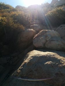
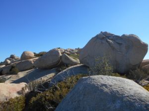
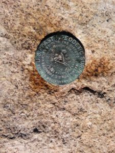
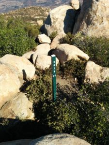
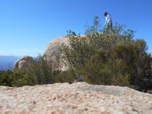
Eventually, the summit finally appeared, as if out of nowhere! Another green post marked the summit, including its supposed elevation of 3675ft. I found 3 different geodetic markers on 3 separate boulders around the area, one being the actual triangulation station.
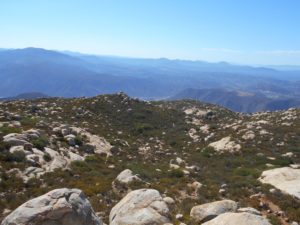
I stayed up on the summit for about an hour, hoping to get some seclusion over an amazing view. Unfortunately, many other hikers chose this same day to reach the summit. I noticed that many of them took different routes up through the boulders and chaparral than I did, furthering the point that it really isn’t a clear trail to the top. I did get some nice conversations in with the others, and sat there, enjoying the view and eating some lunch I had packed in.
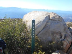
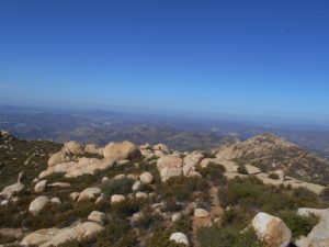

After deciding that I had spent well enough time on the summit and knowing that the heat was going to be rising as the day went on, I began descending down. I found the cairns more helpful on the way down through the first section than they were coming up. However, the ground was still slippery, rough, and at times I found myself heading off a way that just dead ended. I definitely ended up taking a different way down than I did up, though I really wasn’t sure how that happened. I was happy enough to find a safe way down.
Back at the intersection, I thought I would try to go check out the cliff overlook area. However, after realizing that the trail was very rough and noting that the temperature on my thermometer was rising quite fast, I decided that this would be best left for another day. With forecasts saying over 100 degrees for the day and a heat advisory in place for the area, I didn’t want to take too many chances and get stuck in the worst spots of the hike during the hottest part of the day. Although reluctantly, I headed back after stopping to soak down my bandannas and shirt for some extra cooling on the return journey.
As I headed down the mountain, I actually found the return even more difficult than the way up! I had actually thought the way up presented some unique challenges, but I was thinking that the “Strenuous” title seemed much overrated for the hike. On the way down, I began to change my mind. From already having used quite a lot of energy to get up and requiring more energy still to get down, to the rising temperature, the conditions were just working against me on the way down. Additionally, some parts that I didn’t think were so bad on the way up actually seemed much worse on the way down.
I stopped more frequently on the way down and found myself going a slower pace than I did for the way up. This did give me a chance to enjoy the views under a brighter light, especially those that were harder to see under the darker conditions with which I started.
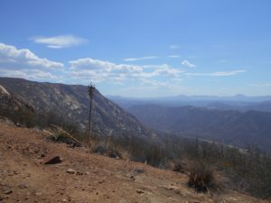
Eventually, I reached the main staging area, with bathrooms, which was quite exciting at the time. Temperatures were already reaching over 100 degrees, and it was only around 1:00 PM. I saw a few groups of people headed up the mountain on my way down, and I had a moment of concern for them, especially a couple that didn’t look like they were even really prepared well for the hike and didn’t really know what they were doing in that heat. Hopefully they made it out safe, and it can be quite a bit cooler at the peak than back at the trailhead so hopefully they got lucky with that as well.
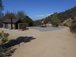
After reaching the bathrooms, I found it somewhat upsetting that I still had to walk all the way back down to my car. Giving myself a quick attitude adjustment, I headed down. A number of cars actually passed me on the road going through, usually reserved for limited traffic. They were all kind and courteous of my hiking by, but I would caution that this can be a hazard.
I was happy to be back at my car finally, although it felt like a furnace inside. I quickly turned on my air conditioner as high as I could, chugged down some more water, and drove out through the Barona Indian Reservation to Ramona, taking a more scenic (and much hotter!) route to get home.
This is a pretty spectacular hike that I would recommend. It is not for the faint of heart, and it can be a strenuous hike. However, the views throughout are absolutely magnificent and extremely rewarding. I hope to come back on a cooler day and visit the other areas which I missed due to the conditions that I began facing on this hike!
