Location: Indian Flats Campground, Caliente Wilderness area in Cleveland National Forest, near Warner Springs, CA; Combs Peak in Anza Borrego Desert State Park
Difficulty: Strenuous (Could be done in sections of Moderate to Difficult)
Hike Statistics: 27.2 miles, over 16,000ft of cumulative elevation change (over 8,000ft gain)
Conditions: Cold to Cool, Mixed Shade (40s-80)
Requirements: Adventure Pass if parked in Cleveland National Forest area, except Indian Flats which is a separate Fee Area; no requirements if parked in Anza Borrego Desert State Park section
Trailhead: Indian Flats Campground; 33.329945, -116.640359 Cleveland National Forest near Warner Springs, CA connection to Pacific Crest Trail near Caliente Wilderness area; 33.381567, -116.595134 Anza Borrego Desert State Park, Last Valley Road and Pacific Crest Trail junction near Combs Peak
Sierra Club 100 Peaks List: Combs, #001
GPX Track: Google Drive (Note: Accuracy Not Guaranteed)

After completing my Pacific Crest Trail Section hike in August at Indian Flats, I began planning to continue from Indian Flats along the Pacific Crest Trail to Combs Peak, the 8th highest peak in San Diego and the first peak included on the Sierra Club’s 100 San Diego Peaks list. The majority of the first section of this hike, through the Cleveland National Forest, is through an area previously set as the Caliente Wilderness Study Area. It then crosses into the Anza Borrego Desert State Park, where Combs Peak resides as the high point of Bucksnort Mountain.
The hike I planned combines two significantly smaller hikes through the Caliente Wilderness area and Combs Peak into one hike. For the Caliente Wilderness area, I would actually recommend parking nearer to the Pacific Crest Trail than Indian Flats Campground–I have given the coordinates to a great spot to park above. Nearly any car should be able to make it to this location just fine. For hiking to the top of Combs Peak, I would recommend parking on Lost Valley Road where the Pacific Crest Trail crosses. I have heard of sedans making it to that location, but your mileage may vary on that dirt road.
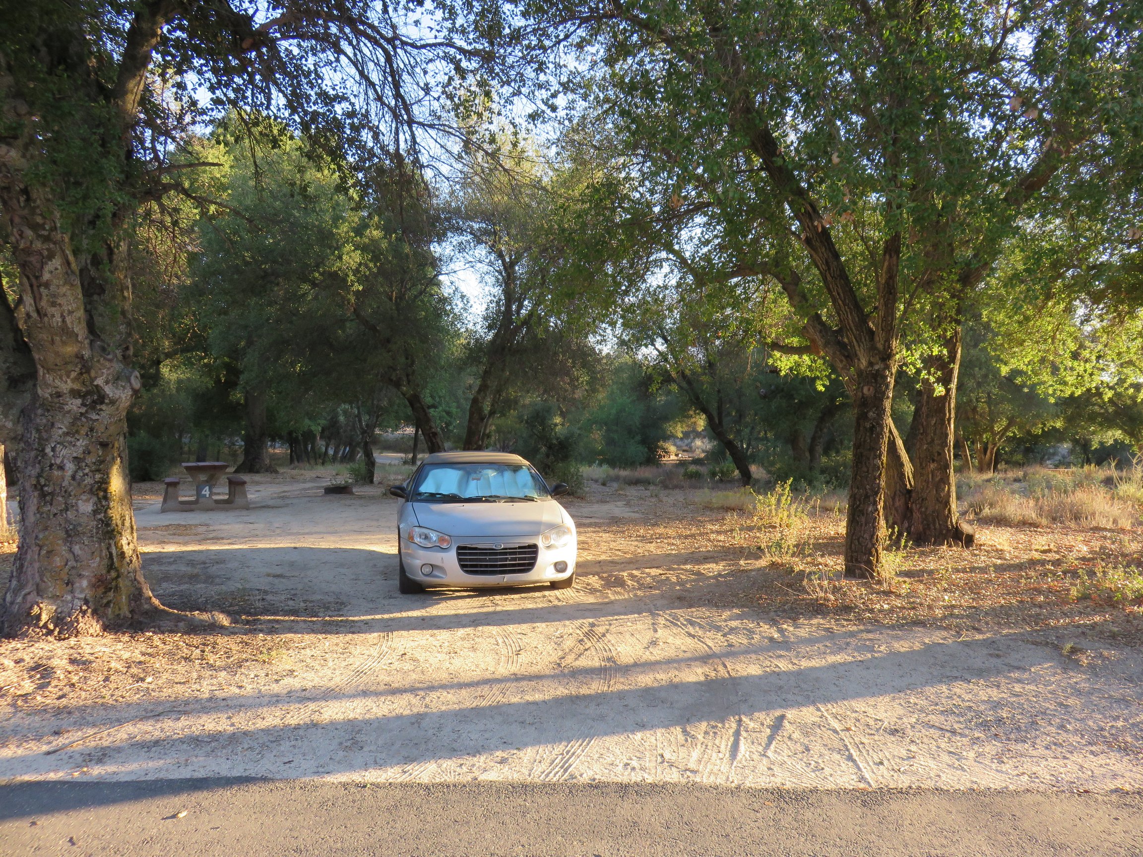
For this adventure, I headed out early Friday afternoon to Indian Flats Campground. I arrived to an entirely empty campground to myself. I took an enjoyable walk around the campsite and began to prepare myself some food, enjoying the solitude.
As I began to eat, a mountain biker, Max, came into the campsite. He noted a pile of firewood that I had seen earlier while walking around, and we decided to start a campfire. We sat around the campfire, staying warm and sharing stories until we decided to call it a night. Max is from Ontario, California, had biked down to San Diego and was on his return journey when our paths crossed. It was wonderful to meet another adventurer and share stories.
Sleeping in my car that night, the temperatures dropped well below 50*F. When I woke at about 6:00 AM, the temperatures were hovering around 40*F. This was much colder than I had anticipated, and much colder than I have grown accustomed to hiking in. However, it was also nice to test out my cooler weather clothing. Bundled up decently well and oiled up with breakfast, I stopped to say goodbye to Max and wish him a good trip for the remainder of his journey. I then set out up the road, 2 to 3 miles to the Pacific Crest Trail.
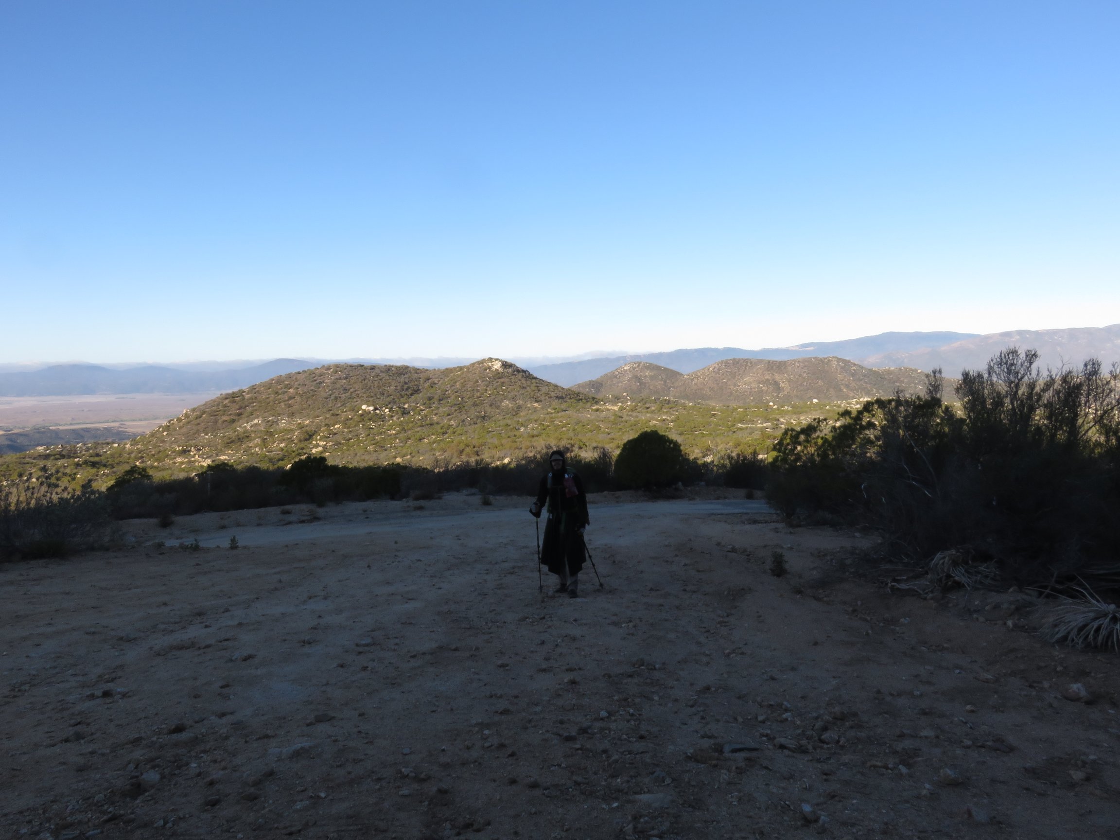
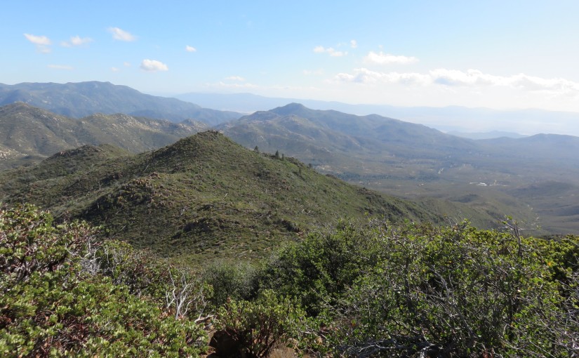
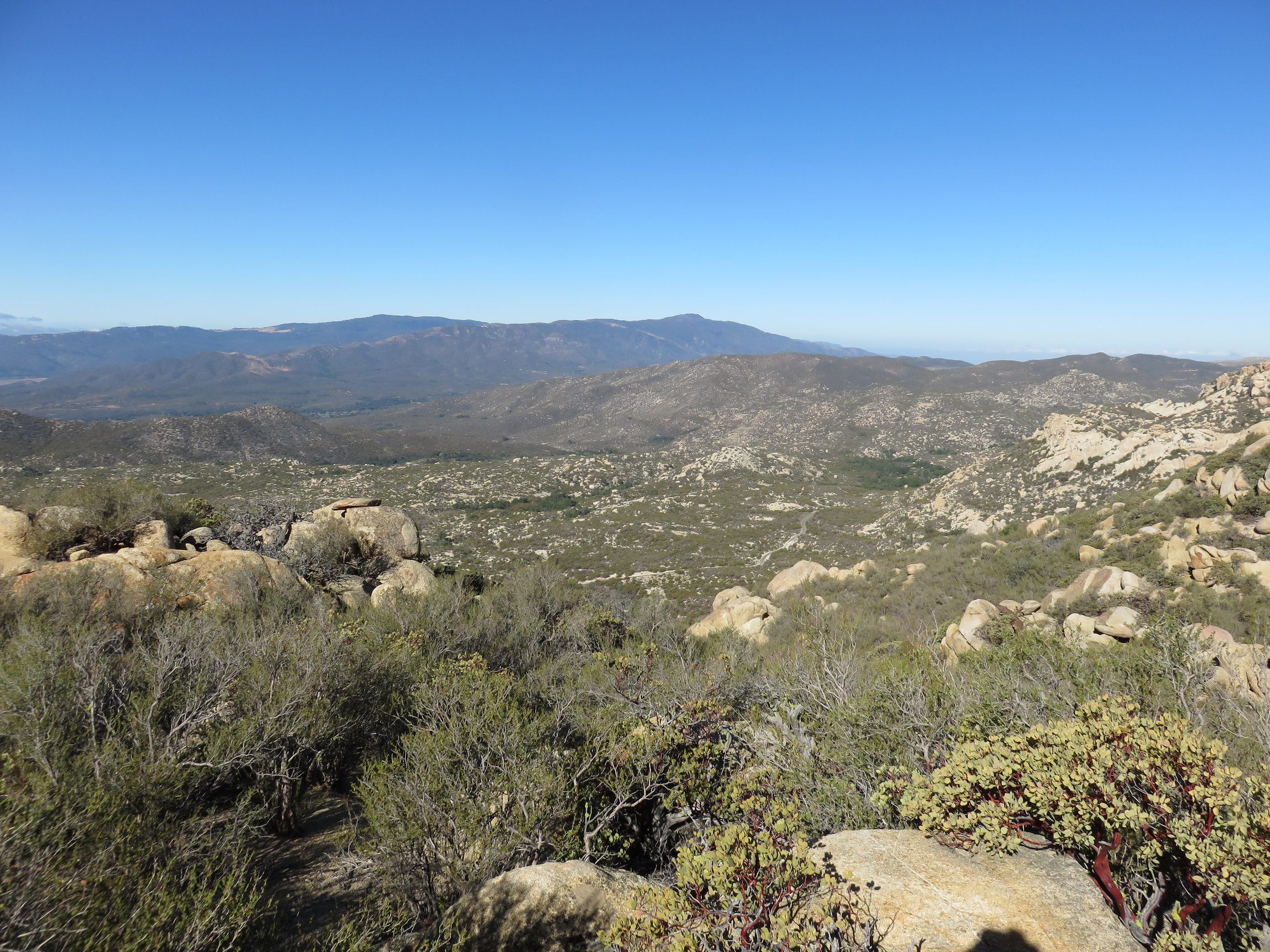
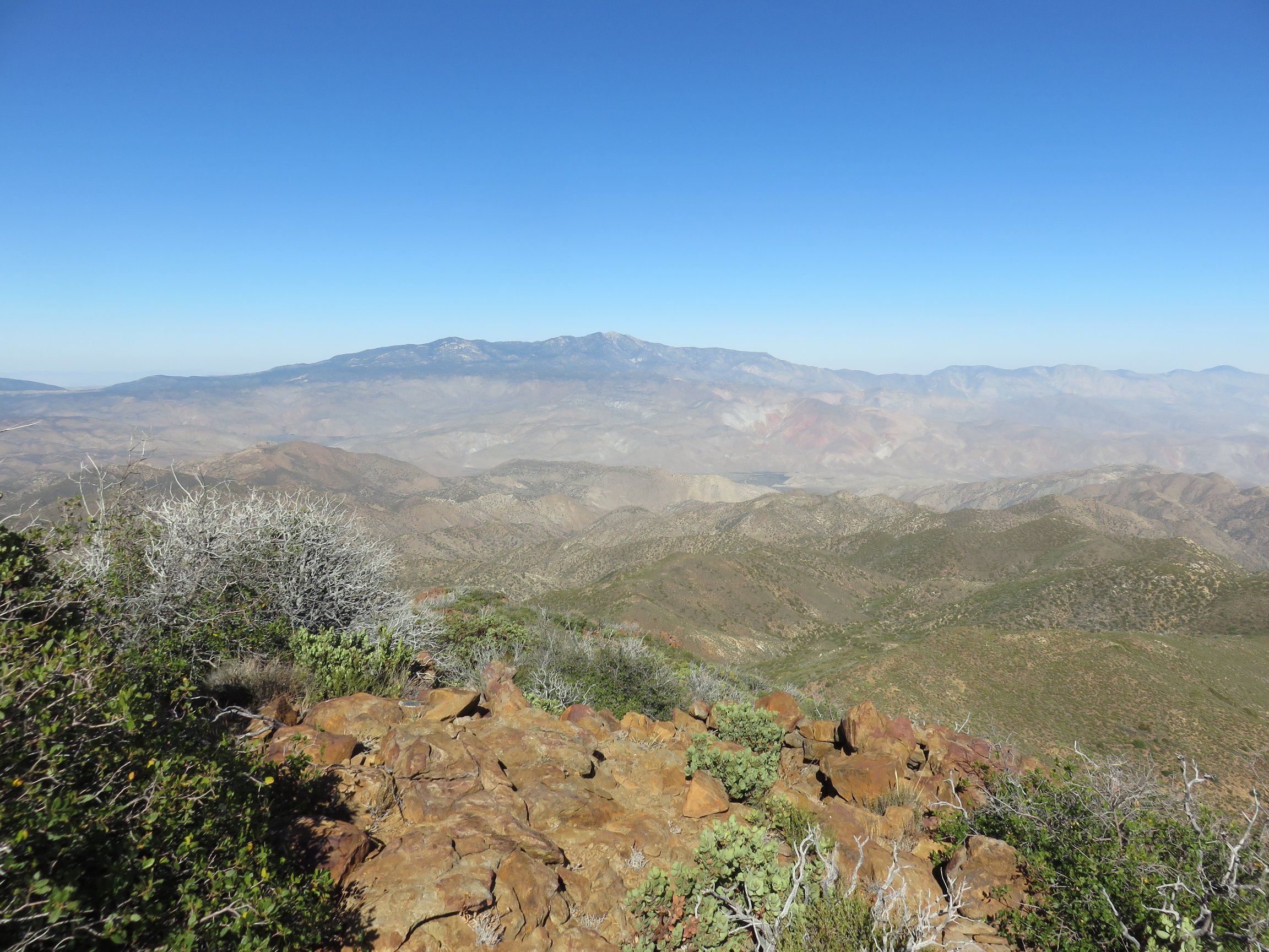
From this point, I shed some of the layers that I had on, as the sun was rising and heating up the air. I then set up the Pacific Crest Trail into the Caliente Wilderness area. The area began mostly with thick chaparral and a few boulders thrown around. The first climb was quite steep up a few switchbacks, until I was high enough to have expanding views in every direction. Eventually, Hot Springs Mountain came into view, looking more grand and majestic than any view I have seen of it before–it really does look like the highest peak in San Diego from this area.
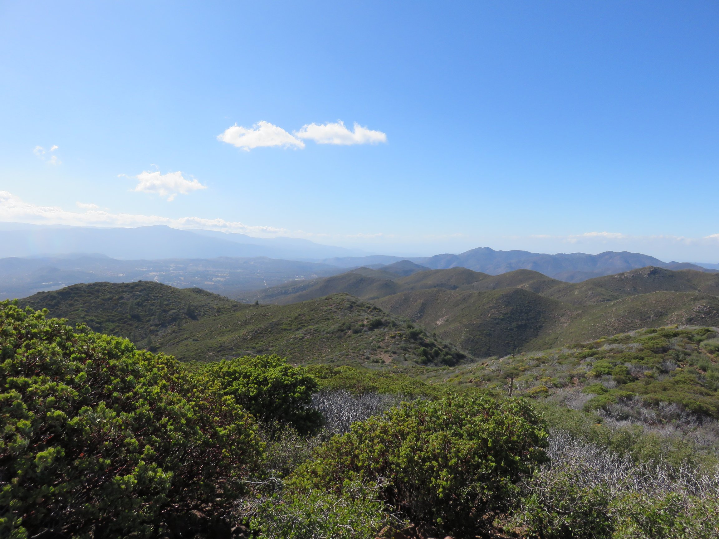
Continuing along the PCT this route, eventually the thick chaparral and mixed woodland area broke way to a field littered primarily with many boulders as the trail dipped down and back up through the area, up through the connection to the Anza Borrego Desert State Park. In the middle of this area, I spotted several areas that worked wonderfully to stop and rest, and which would work great to setup camp if backpacking.
Throughout the path in this area, Bucksnort Mountain comes into view in the distance. I was often saying to myself, “That can’t be it!” The further I went and the more I looked at my map, the more it was apparent that the peak I was gazing at was indeed the one I meant to reach the summit of.
Click here for a better view
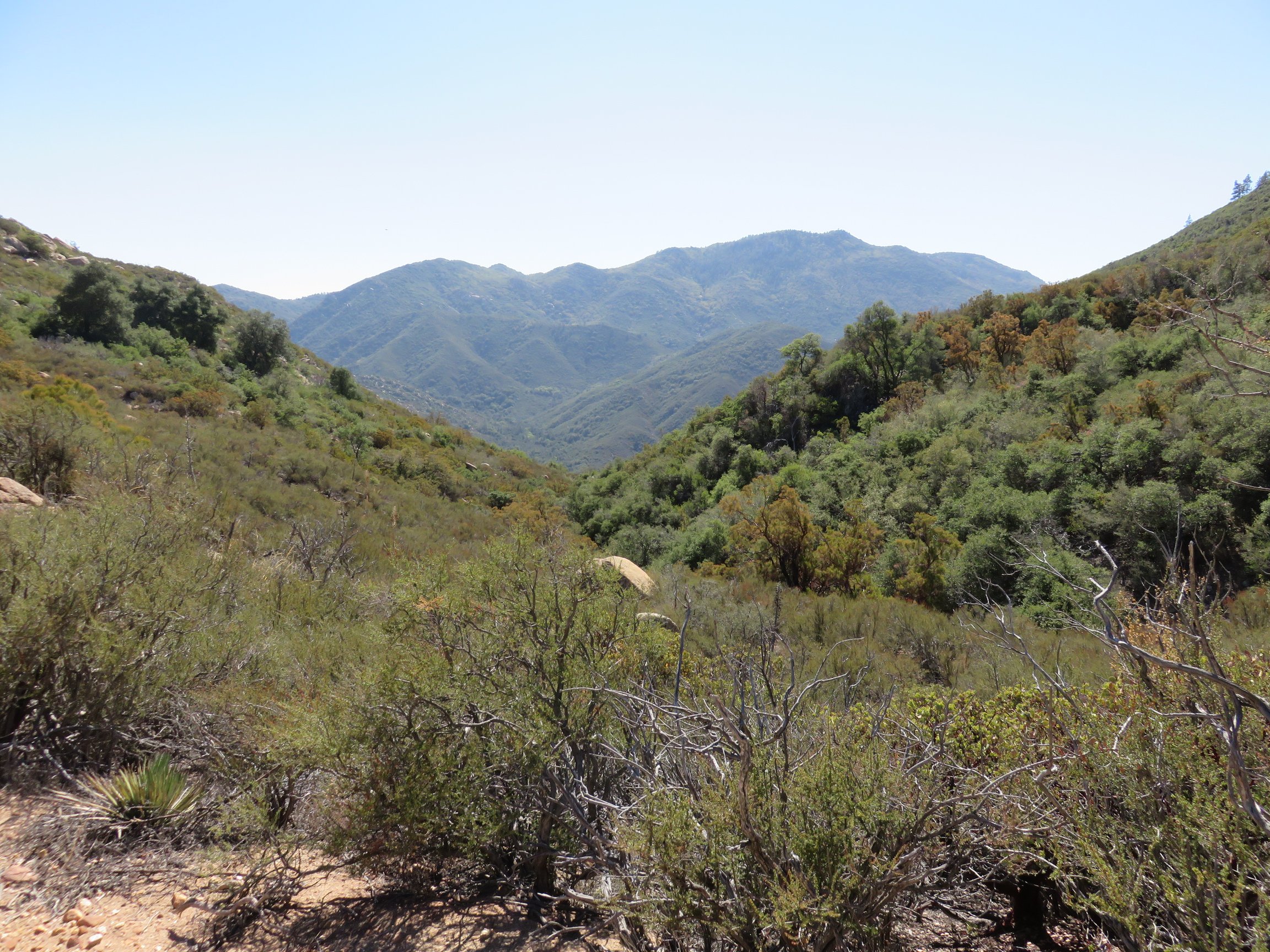
After a section of a lot of boulders and looser chaparral, the PCT followed the ridges along more thicker chaparral again for some way. I passed a sign indicating Trail Angel Mike’s offer for water, shade, and shelter. Although I chose to pass this offer, knowing I was on a very large hike, I love trail angels along the PCT. I enjoyed seeing this.
Just shortly beyond that point, I finally reached the crossing of Lost Valley Road. This is the usual starting spot for most who have talked about hiking to the top of Combs Peak. Knowing this, I was excited to be so close, and got a good peak in my step.
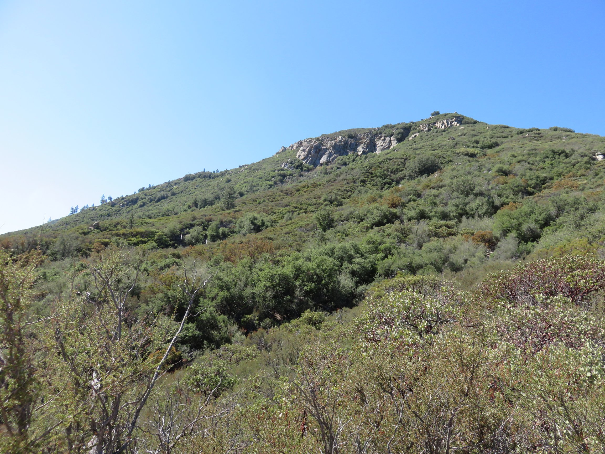
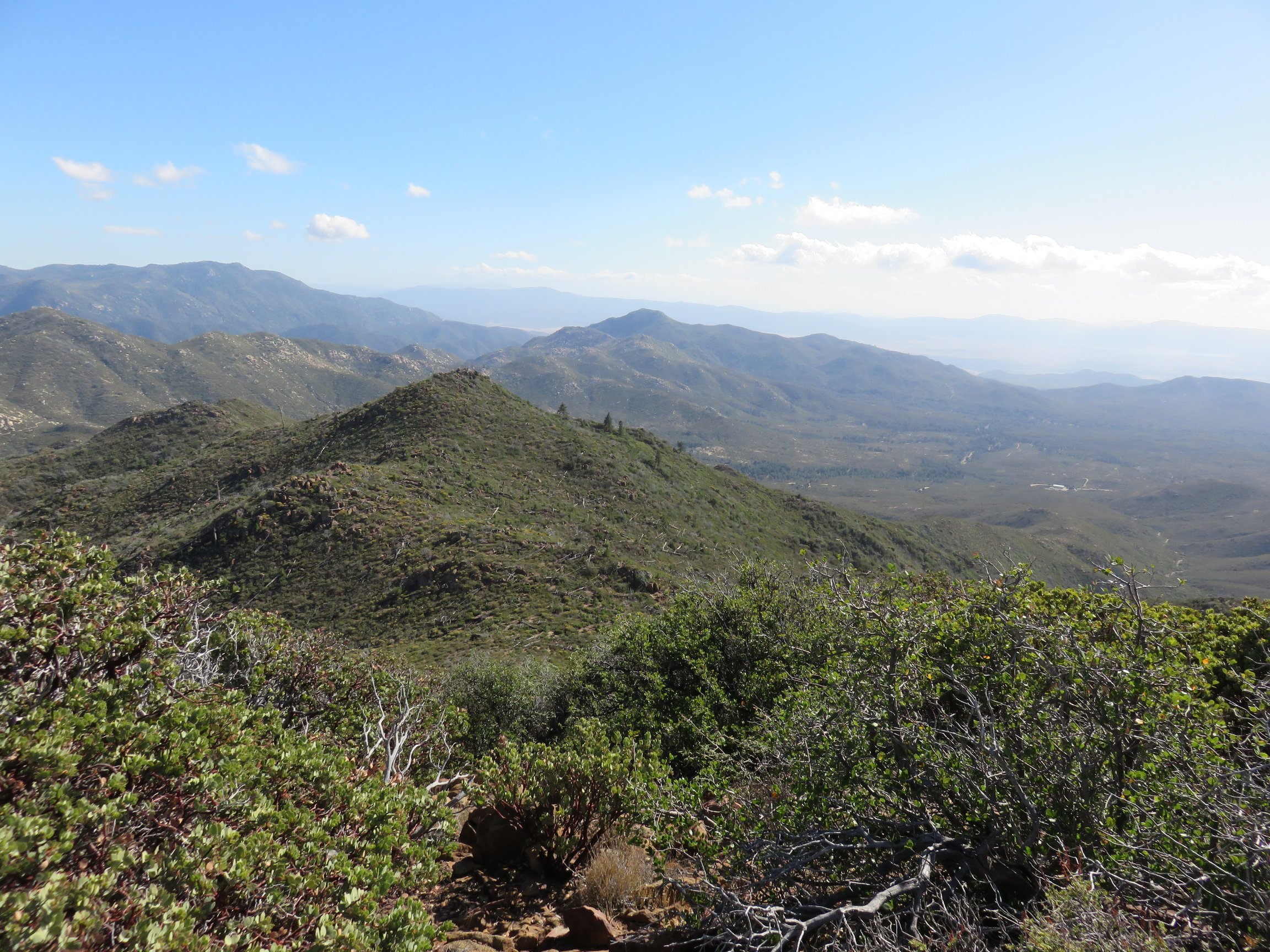
A somewhat steady climb along the side of Bucksnort Mountain for a bit over two and a half miles led to a few patches cleared out for more camping on the left, inside of the trail. I took the opportunity to stop and rest at these before heading off of the PCT to climb to Combs peak, and noted that this could be a great spot to camp as well.
Just beyond these campsites and prior to a large, incinerated tree, a somewhat indiscriminate pile of boulders marked the use trail up to the top of Combs Peak. From this point, the hike up became quite difficult. There was a number of offshoots of use trails carved out by previous hikers. Although I lost the path a few times, cairns were set by previous hikers to help find the way through the bushwhacking and light scrambling to the peak.
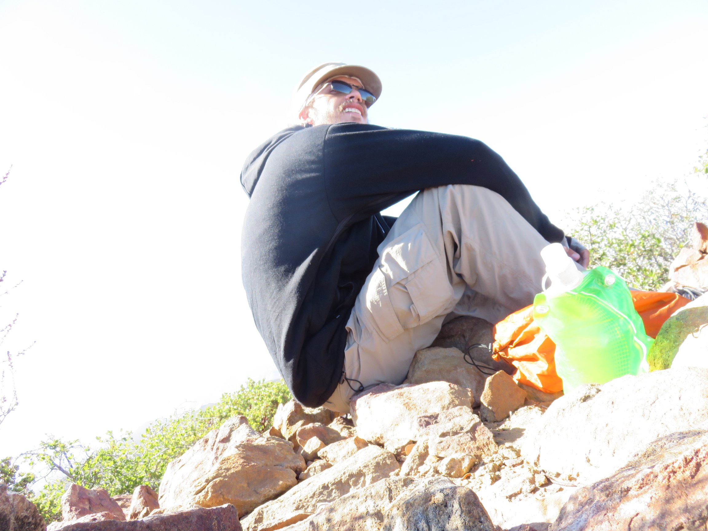
Finally reaching the summit, I found the USGS triangulation station and summit register. It was actually very windy and quite chilly up on the summit, so I quickly put on my coat. I then spent some time enjoying the views and eating lunch.
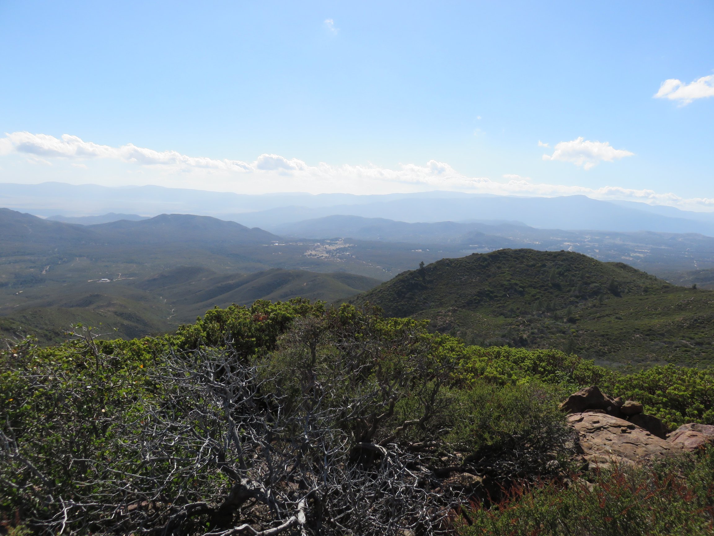
I took a number of pictures up at the summit, enjoying the broad views all over San Diego county and into Riverside county not far off.

After my time on the summit, I knew that I had a long way back. Scrambling back down the mountain, I lost the path several times and had to bushwhack my way back to finding a decent use trail again. It was frustrating at times, but I found it really quite exciting to fight the confusion of the whole thing at the same time.
As I then continued along the PCT back to Indian Flats, I enjoyed taking another view over the whole trail. The sun began to set as I entered back into the Caliente Wilderness area again, and clouds had begun to travel into the sky as well. From clouds that looked like a Chinese Dragon, to another that covered the peak of Hot Springs Mountain, it was actually a very enjoyable scene. As I switched to headlamp, hiking in the dark, some of the clouds that were making their way in actually covered the trail I was on in a patchy fog, making the hiking that much more interesting.
I finished a pretty decent chunk of the return journey by headlamp and arrived back at Indian Flats quite late. I was debating with myself about what to do with the night as I arrived at the car, but by the time that I did reach the car, the long hike had left me tired, and I quickly packed in and went to sleep. In the morning, I put together everything I had and drove back home.